To the Skies
Using drones to evaluate a building enclosure
Facility managers often use building enclosure investigations and evaluations to determine the condition of a façade/roof for safety and establish budgets for repairs. Depending on the configuration of the structure, access to perform an investigation can be challenging, especially with steep-sloped roofs, steeples/spires, multistory buildings or facilities in urban settings. Existing methods to access a façade include the use of aerial lifts, swing staging, scaffolding or rope access. Each of these methods is time consuming, costly and oftentimes restricts pedestrian/tenant access in and around the building.
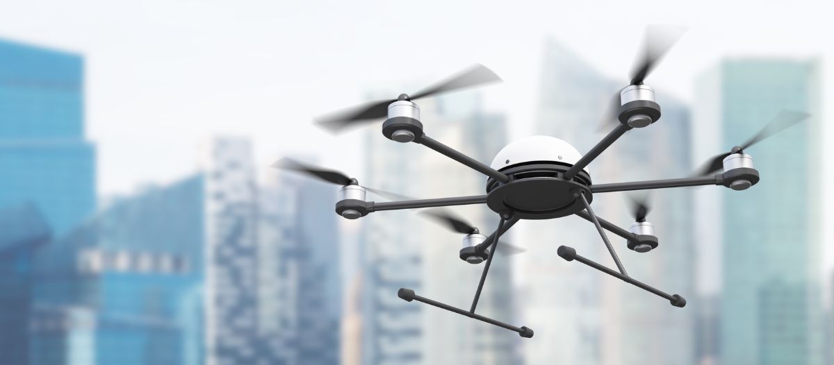
A 21st century alternative to the traditional methods of building enclosure evaluation is to incorporate the use of aerial drones. A detailed visual survey of building enclosures can provide sufficient information as to the condition of the exterior building components including, but not limited to, the quantity, type and locations of deficiencies. For instance, a drone survey of a slate roof can provide the same information as a visual inspection from high-reach equipment at a fraction of the cost. Drone zooming capabilities can provide information on the condition of mortar and sealant joints, extent of masonry spalls or cracking, displacement of façade components and overall condition of roofing systems.
In the U.S., the Federal Aviation Administration (FAA) recently adopted procedures and certifications for using Unmanned Aircraft Systems (UASs)/drones for commercial use. UASs/drones capture real-time, high-resolution video and photographs, therefore reducing the time and money it takes to perform a typical evaluation. Drones can quickly elevate and fly to the highest points of a building in a matter of minutes. The ability to view these heights from the safety of the ground is a tremendous advantage for the observer and lessens liabilities for the owner.
History of drones
The first recorded use of a drone was in 1849 when Austria attacked the Republic of Venice with explosive-laden unmanned balloons directed into the wind. Less than two decades later in the U.S. Civil War, balloons were utilized for reconnaissance missions. In 1896, Samuel P. Langley developed a range of steam-powered aerodromes, unpiloted aircraft that were flown successfully along the Potomac River near Washington, D.C., USA.
The term “drone” originated in 1935 from the British produced unmanned radio-controlled aircraft that were used as anti-aircraft practice targets. Reconnaissance drones were first deployed on a large scale by the U.S. Air Force in the Vietnam War. They acted as decoys in combat, launched missiles against fixed targets and dropped leaflets for various operations. Drones continue to be used in military operations, but their use has expanded to hobbyists and professional civilian industries.
How do UASs/drones operate?
UASs/drones work through a system of sensors. They are remote-controlled vehicles made up of a light composite material that allows them to maneuver easily and reach high altitudes. UASs/drones have three parts: the drone itself, the control system and lithium-based batteries. They are equipped with infrared cameras and global positioning systems (GPS) and are controlled by remote ground control systems (GSC) or ground cockpit. The on-board computer uses data from gyroscopes and accelerometers at each rotor to determine orientation and position. Below is a general description of the maneuvers used by the ground cockpit to control a drone:
-
Roll - angles the drone’s body to the left or right to move the aircraft side to side. While always looking forward, this is the equivalent of tilting the head to the left of right.
-
Pitch - angles the drone’s nose up or down to move the aircraft forward or backward. This is the equivalent of looking up or down.
-
Yaw - changes the direction the drone faces by turning the aircraft to the left and right on the vertical axis. This is the same as turning the head to the left or right.
FAA rules for operating UASs/drones
In 2015, the FAA created 14 CFR Part 107 to provide rules for drone use due to safety concerns for both hobbyists and commercial pilots, but only commercial pilots are required to become certified. In 2021, the FAA updated the rules to better accommodate commercial use. All drones must be registered with the FAA, whether it is used for hobby or commercial use. The rules for operating an unmanned aircraft also depend on where it is flown. Commercial UAS pilots will typically operate in Class G Airspace, which extends from the surface to the base of the overlying Class E airspace (14,500 feet). A remote pilot will not need air traffic control authorization to operate in Class G airspace. Class G airspace is uncontrolled, meaning that the FAA does not provide services in this airspace, nor do they provide any aircraft tracking or redirection. This is a free zone; therefore, UAS operations are unrestricted.

What are the benefits of using UASs/drones?
The images that result from UASs/drones are easy to share and interpret. They provide an overview of the building that is often superior to a report collected by sampling individual data points through manual inspection. Some drone service providers are also able to stream drone imagery in real time (i.e., the facility manager can assess conditions from the ground by observing the drone operator’s monitor). The drone can also be deployed very quickly and capture the necessary footage in hard-to-reach places much faster than traditional methods. A typical drone flight can be completed within a couple of hours depending on the size of the building.
-
Avoids expensive and traditional access methods
-
Reduces inspection costs
-
Less down time (for relocation and or breakdown of swing staging, scaffolding, and/or aerial lifts)
-
Can access areas that could not previously be reached
-
Highly controllable cameras
-
Data can be immediately downloaded to use in reports
-
High-quality video and images of building enclosure defects
-
The drone’s IR camera can locate potential moisture in roofs and potential thermal leakage within the building enclosure (roof, walls, windows)
Drones are also effective at evaluating buildings and property after a major weather event. They are helpful in quickly assessing damage to facilities and are widely used to assist insurance and utility companies. In 2017, the FAA issued 137 authorizations to local, state and federal agencies to support the Hurricane Harvey Recovery.
What are the limitations of UAS/drone technology?
The major limitation is weather. Drones should not be operated in stormy, windy or extremely cold weather. The wind speed limit is 20 mph. When operating a drone, the pilot must not operate out of the drone’s line of sight. A professional enclosure consultant and/or engineer should interpret and analyze the collected data.
How does the cost of a UAS/drone evaluation compare to other access methods?
Drones can be deployed very quickly and capture the necessary footage in hard-to-reach places much faster than a human. The table below compares the cost of drones to other access methods.
Drone technology has revolutionized traditional property condition assessments. Using high-resolution videography and photography, drones offer a safe, quick and cost-effective visual method to evaluate a wide range of properties and facility types. Consider using drones as the first option for inaccessible areas and logistically difficult sites. Drones have not yet taken the place of hands-on inspections of facades as mandated by many municipal ordinances; however, they are an invaluable tool to expedite and reduce overall costs of such evaluations.

Christopher M. Foley became a Certified Part 107 Licensed Drone Pilot in 2016. Since then, Foley has flown more than 100 building, civil engineering, and athletic field evaluation missions. He is adept at using both RGB and Infrared cameras, and manages Gale’s fleet of seven drones, as well as Gale’s drone safety and training program.

Tony B. Robinson, RRC, BECxP, LEED® AP B D+C is an associate/sr. project manager with Gale Associates, Inc.’s Building Enclosure Design & Consulting Group. He has more than 30 years of experience investigating, evaluating and designing repairs to the building enclosure (roofs, walls, windows, and waterproofing). Robinson manages projects through all phases of building enclosure consultation, including initial investigation through preparation of design documents and construction period services. He is also a Certified FAA Remote Pilot for sUAS (Drone).
Read more on Facility Operations and Project Management
Explore All FMJ Topics